Footprint

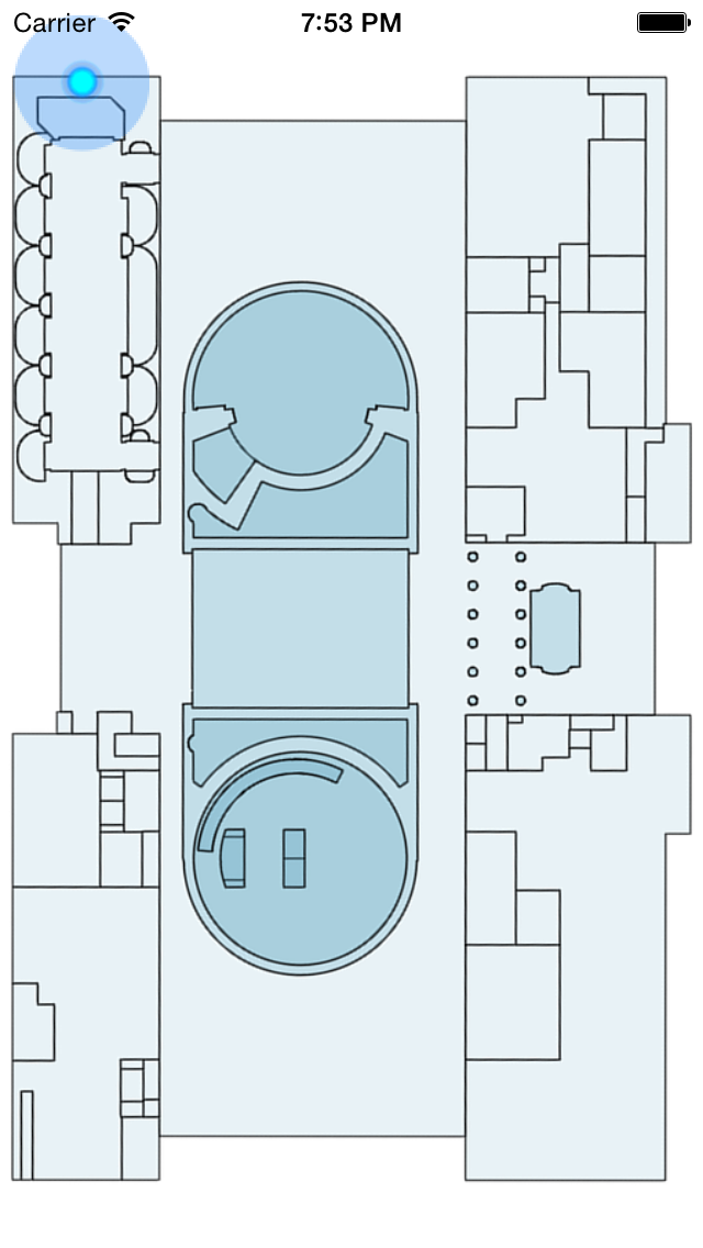
Display device location on a floorplan image. Using Core Location, we will take the position in Latitude/Longitude and project it onto a flat floorplan. We will demonstrate how to do the conversion from the Geographic coordinates system (Latitude/Longitude) to the floorplan’s image coordinate system (x,y)
Note:
For this sample to function, you must have a floorplan for a venue that is Indoor Positioning enabled. To see the appropriate position on the floorplan, the device will need to be in that venue. If you are not in a venue, you must emulate a position in the venue using “Custom Location” in the simulator.
Using Your Own Floorplan
If you have a venue floorplan you would like to use, make the following changes:
- Replace the existing FLOORPLAN_IMAGE in the image Assets.
- Set the two anchor points in MainViewController: These are two points on the floorplan in Latitude/Longitude, and Image x,y
Author : https://github.com/olegoid.
If you like this tutorial then you can download full copy of the code from github.
Leave a Reply